Aim of the Module
The aim of the course is to acquire practical knowledge of terrain access and topographical modelling. Furthermore, the result of the measurement will be processed in a GIS and visualized cartographically. The exercises are carried out in small groups in which the students organise themselves.
Contents of the Module
Terrain access and -capture by means of tachymetric recording, laser scanning, generation of a digital terrain model with the help of a software product (TASH), transfer and visualization of the DTM into a GIS, cartographic design.
Interactive castle map
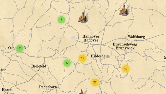
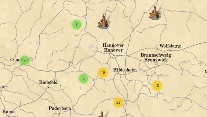
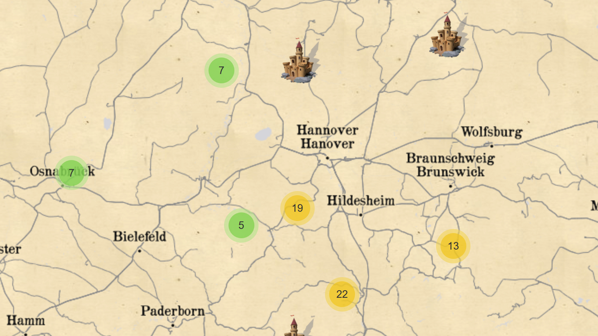
For many years, students have been recording the exact topography of historical castle complexes as part of a practical field exercise. This is done in cooperation with the Landesamt für Denkmalpflege.
Over the years, a beautiful collection of high-precision 3D captures of castles has been created, which can be explored in the following web map.
https://webtest.ikg.uni-hannover.de/burgenkarte/
The map was created by Udo Feuerhake.
30167 Hannover


30167 Hannover