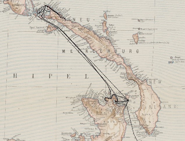
Calculation of the itinerary of historical sea voyages with a vague spatiotemporal data basis
 © Staatsbibliothek zu Berlin ‐ Kartenabteilung
| Leitung: | Fuest, Sester |
| Jahr: | 2024 |
Introduction and goal of the thesis
The thesis topic is related to the DiViAS project (digitization, visualization and analysis of collection items) which brings together scientific methods and practices for digitizing, researching and representing collections from colonial contexts. The project involves developing new approaches for making sense of the information derived from historical sources such as logbooks or travel reports. One of the project goals is to make the movements of ships, people and objects traceable, which can be facilitated by cartographic representations of these movements. Since the information provided in the historical sources is oftentimes vague, inaccurate or incomplete, the challenge here is to estimate the itinerary of a ship by taking a certain degree of vagueness into account.
The aim of the thesis is therefore to calculate plausible ship routes that connect different locations of a journey, while considering the vagueness of the information in historical data. While in some cases, the course of the route between two locations can be solely estimated based on the geographical conditions, in other cases, further factors must be considered when calculating the route, such as weather events, time or travel direction information.
The vague data basis requires the development of a method for calculating plausible ship routes, so that, depending on the geographical conditions or additional factors, not only the shortest possible connection may need to be calculated, but also further plausible route options.
In this thesis, shortest path approaches (Dijkstra, A*), especially approaches of path planning from robotics shall be used to navigate on sea between the different locations, while considering objects such as landmasses as obstacles and avoiding them. In order to account for alternative routes, methods such as k-shortest paths have to be investigated.
As a result of the thesis, plausible routes for the sea voyages derived from the example data are to be calculated and visualized on a map, followed by a validation of the plausibility of the calculated routes considering the vagueness in the data.
Tasks and schedule
- Literature research on routing approaches for ship routes and familiarizing with the data
- Generating a navigation data set for the test data from the DiViAS project and modelling different environmental factors including their vagueness and uncertainty (e.g. storms, heavy sea), which might influence the routing
- Implementing a path planning algorithm
- Determining paths that take into account the spatiotemporal vagueness in the data
- Visualizing the results on a map
- Validating the plausibility of the calculated routes
- Writing the documentation (master thesis)
Resources
Sample datasets from the DiViAS project: The available data contains descriptions of waypoints of various ship routes of the 17th and 18th centuries resulting from transcribed logbooks with information such as location, time or event, which in turn are subject to vagueness.
Requirements
- Programming skills
- Ability to access and query data from a database
- Experience in working with Geographic Information Systems (GIS)
- Ability to work independently
References
Lecture SLAM and Path Planning, Prof. Brenner, ikg
DiViAS project homepage (2024). https://divias.de/en/
Contact persons
Dr.-Ing. Stefan Fuest (E-Mail stefan.fuest@ikg.uni-hannover.de, Tel. 762-5285)
Prof. Dr.-Ing. habil. Monika Sester (E-Mail monika.sester@ikg.uni-hannover.de)


